How to Estimate Daylight Remaining Without Relying on Your Phone
TLDR
To estimate daylight remaining outdoors without a phone, treat the Sun’s position as a warning signal rather than an exact clock. A low Sun, lengthening shadows, or sunlight disappearing behind terrain means your margin is shrinking, but none provides a dependable minute count. Mountains, trees, clouds, route difficulty, and weather may make safe travel impractical before the listed sunset. Set a conservative turnaround point before leaving, carry a headlamp or flashlight, and switch to your backup plan early.
The goal when you estimate daylight remaining outdoors is not to squeeze every possible minute from the day. It is to recognize when the original plan is losing its safety margin and make an orderly decision: turn around, use prepared lighting, reach a known backup location, communicate a delay, or stop moving if continued travel would create more risk.
Sunset is not the same as usable light
Outdoor light does not end at one universal moment. Direct sunlight can disappear behind a ridge or tree line well before the official sunset. Some ambient light remains after sunset, but its usefulness depends on the terrain, weather, footing, and task.
| Light stage | What it tells you | What it does not tell you |
|---|---|---|
| Direct sunlight | The Sun is still visible from your position. | That your entire return route remains illuminated. |
| Official sunset | A calculated solar event for a particular date and location. | When a forest, valley, roadside shoulder, or uneven trail becomes unsafe to navigate. |
| Civil twilight | An astronomical stage when the Sun is no more than 6 degrees below the horizon. | That there is enough light for every activity or surface. |
| Practical darkness | You can no longer reliably identify footing, route markers, obstacles, or hazards without artificial light. | A fixed time that applies equally to every route. |
NOAA defines civil twilight by the Sun’s position below the horizon, not by whether a particular person can safely travel over a particular surface. Its solar calculator terminology is useful for understanding the astronomical stages, but twilight should not become a promised window for completing a route.
A smooth open path may remain visible longer than a rocky descent under dense trees. Driving or walking beside traffic may require visibility equipment before natural light is completely gone. Reading a map, finding a junction, setting up shelter, or assisting a tired group member can also require more light than simply standing in an open area.
How to estimate daylight remaining outdoors without pretending it is exact
Start by finding the Sun only if doing so is safe. Never stare directly at it, and do not step toward an exposed edge, roadway, unstable slope, or unfamiliar ground to obtain a better view. If clouds, trees, or terrain hide it, do not invent an estimate; move directly to your preplanned time and equipment checks.
If the Sun is visible, use its position as a broad trend indicator. A Sun well above an unobstructed horizon suggests more daylight than one nearly touching the horizon. If it is approaching a ridge, tree line, or building line along your route, expect direct light at your location to disappear sooner than an almanac-style sunset for a flat horizon.
The Sun’s apparent position changes at roughly 15 degrees per hour, but the relationship between clock time and apparent solar position varies during the year. That is one reason visual observations should remain approximate rather than becoming a precise countdown.
Avoid the popular finger-width or hand-span formulas that assign a fixed number of minutes to the gap between the Sun and horizon. Hand dimensions, arm position, latitude, season, horizon shape, and viewing conditions vary. A hand measurement may communicate that the Sun is getting low, but it should not overrule a turnaround limit or justify continuing without a light.
Use a three-check decision instead
- Check the Sun and sky: Is the Sun low, hidden, or about to pass behind local terrain? Are clouds, haze, smoke, or precipitation reducing contrast?
- Check the route: Does the return involve forest cover, steep ground, stream crossings, confusing junctions, traffic, or obstacles that become harder to see?
- Check the group and equipment: Is anyone tired, cold, injured, slow, or unfamiliar with the route? Is a working headlamp immediately accessible rather than buried in a pack?
If any of these checks is deteriorating, act as though the useful-light deadline is closer than the official sunset. The visual estimate has done its job once it prompts a conservative decision.
Why darkness can seem to arrive early
Published solar times assume an astronomical horizon rather than the exact ridge, forest, canyon wall, or skyline around you. National Weather Service technical guidance notes that local terrain can make observed sunlight differ substantially from times based on a sea-level horizon.
- Mountains and canyon walls can block direct sunlight while the Sun is still above the wider horizon.
- Dense tree cover reduces overhead light and makes roots, rocks, and trail edges harder to distinguish.
- Clouds, fog, rain, snow, smoke, and haze can reduce contrast before sunset.
- A west-facing obstruction can remove direct evening light early, while route direction can move you into deeper shade.
- Unfamiliar or complex routes require more time for junction checks and navigation.
- Fatigue, cold, injury, poor vision, or a slower group member can reduce safe travel speed.
- Road shoulders and crossings can become hazardous before full darkness because other people must be able to see you.
Estimate usable light for the hardest part of the return, not the easiest view from your current position. If the last section includes a wooded descent, confusing intersection, water crossing, or roadside approach, that section should determine the margin.
Set the real deadline before departure
The most dependable no-phone system begins at home. Check official sunrise, sunset, and weather information for the correct date and area. Write the relevant times on paper, or put them on a small waterproof reference card. An analog watch then lets you compare actual progress with the plan without depending on a phone battery or signal.
Choose a turnaround time based on the route rather than treating sunset as the turnaround time. Include room for a slower return, navigation checks, changing weather, and the early loss of sunlight behind terrain. There is no universal buffer: a familiar paved loop near home and an unfamiliar mountain route require different margins.
National Park Service guidance for Yosemite’s Half Dome illustrates the broader planning principle: check sunrise and sunset in advance, establish a non-negotiable turnaround time, and carry a headlamp or flashlight with spare batteries, plus a map and compass. It also warns that a phone is not a proper light source. Review the National Park Service’s daylight and turnaround guidance.
Leave a trip plan with a trusted person. Include where you are going, the intended route, vehicle or starting location, who is with you, expected return time, and when that person should raise an alert. National Park Service trip-planning guidance also recommends staying together and recognizes that unplanned route changes can make search efforts more difficult.
Build a simple offline backup system
A visual daylight estimate is only one layer. A practical backup kit covers time, navigation, illumination, communication, weather, and signaling without requiring one battery-powered device to perform every job.
- A written card with the day’s sunset information, planned route, turnaround time, and emergency contacts
- An analog or separately powered watch
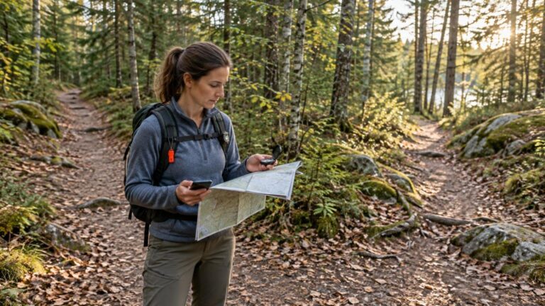
- A paper map appropriate to the route
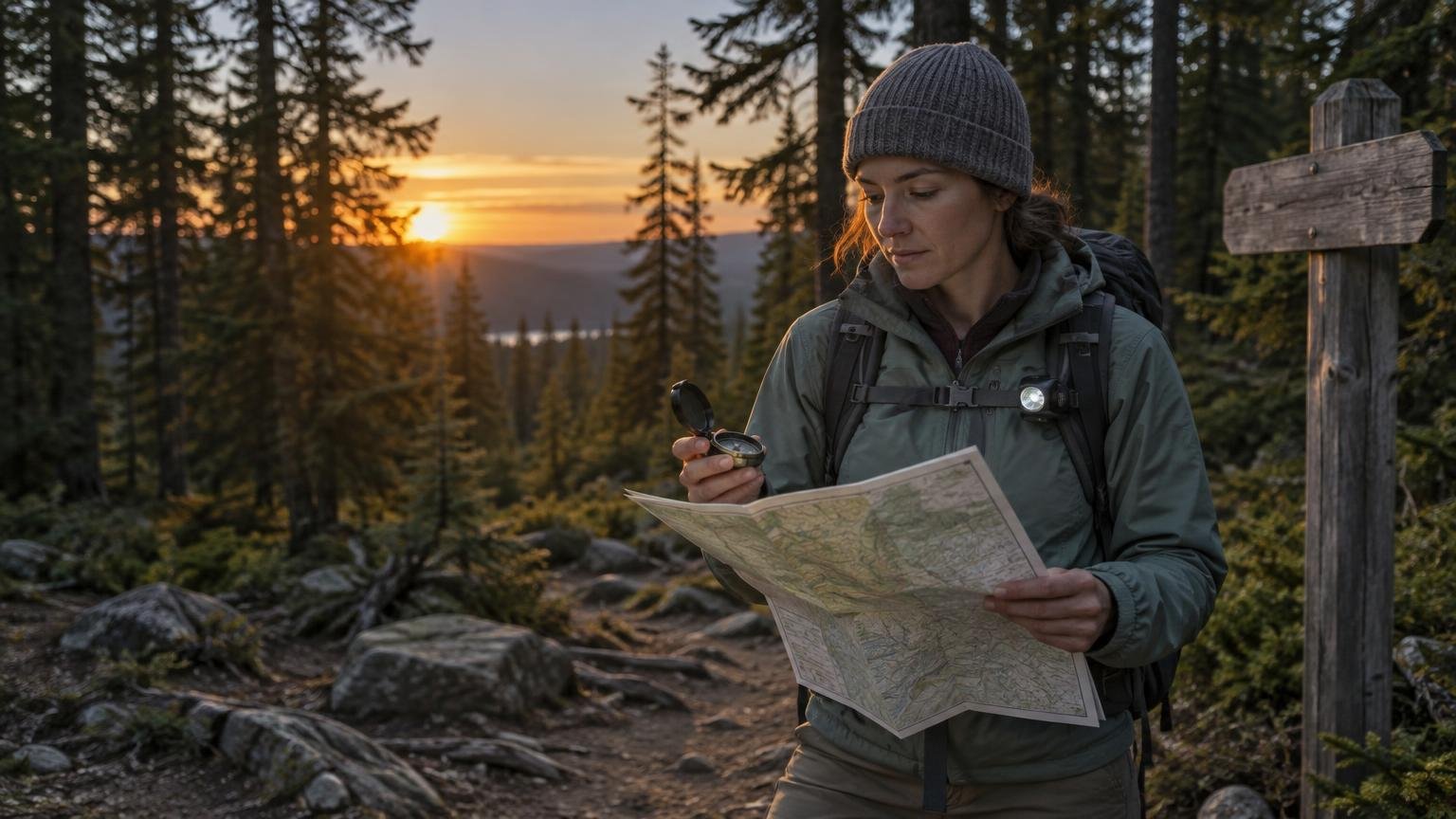
- A compass and the knowledge to use it with the map
- A headlamp or flashlight with spare batteries protected from moisture
- A whistle that can produce a repeatable signal with less effort than shouting
- Water and an appropriate amount of food for delays
- Weather-appropriate insulation and rain protection
- Reflective material or high-visibility clothing where traffic or search visibility is a concern
- A phone or other communication device carried as one layer, not as the only map, clock, light, and emergency plan
A paper map and compass are most useful when practiced in ordinary conditions. USGS guidance explains how to orient a topographic map with a compass and notes that magnetic declination varies across the United States. Account for the declination shown for the map and area instead of assuming magnetic north and map north are identical. Learn the USGS map-and-compass method.
Check the headlamp before every outing. Confirm that it turns on, inspect the battery compartment, and keep spare batteries where they can be reached before darkness. Do not save the light until you are already stumbling; using it early helps preserve route awareness and reduces rushed decisions.
What to do when fading light catches up with the plan
Once it becomes clear that the original schedule is unrealistic, stop trying to recover time by rushing. Speed on poor footing can turn a manageable delay into an injury. Gather the group, put on warmer or waterproof layers before anyone becomes chilled, retrieve lights, and reassess the known route and nearby hazards.
- Keep the group together and account for everyone.
- Use headlamps or flashlights before obstacles become difficult to identify.
- Stay on the planned or clearly marked route when it remains the safer option.
- Communicate the delay and revised plan if reliable communication is available.
- Avoid speculative shortcuts, especially across steep ground, water, dense vegetation, or private property.
- If lost, injured, or unable to move safely, prioritize a safer position, warmth, communication, and visibility rather than making repeated route changes.
A trusted contact should know that a revised return time does not erase the original trip plan. If contact is impossible and the agreed alert time passes, that person still has useful route and party information to provide to responders.
Weather can overrule the daylight estimate
Do not let a favorable sunset estimate persuade you to continue through worsening conditions. Thunder, flash-flood risk, dense fog, dangerous heat or cold, strong wind, and rapidly falling visibility can require an earlier turnaround or a different safe action.
The National Weather Service advises checking the forecast for the specific outdoor area. When thunder is heard, its lightning guidance says to reach a substantial building or enclosed vehicle rather than waiting for a scheduled turnaround time. Read the official outdoor lightning guidance.
Weather may also change which route is safest. A dry stream crossing can become dangerous during heavy rain, fog can hide landmarks, and cold can make an unexpected delay more serious. Follow official warnings and local closures; daylight is only one part of the decision.
Improve search visibility without creating another hazard
If you need assistance, make yourself easier to locate from a stable position. Use a whistle, flashlight, reflective material, or high-visibility clothing when appropriate. Preserve battery power between signaling attempts, but keep enough light available to avoid falls and other immediate hazards.
Avoid wandering simply to look for a signal if doing so would move you away from the shared route or vehicle. Route consistency, a useful trip plan, and visible signaling can give searchers better information. For a fuller communication and signaling workflow, see how to make yourself easier to find during an outdoor emergency.
Drivers and passengers should apply the same principle during a roadside delay: become visible without standing in an active traffic lane or remaining in an unsafe location. A dedicated flashlight, reflective equipment, water, clothing, and communication backups also belong in a practical road trip emergency kit.
Make the decision before the margin disappears
A no-phone daylight estimate should remain intentionally conservative. Observe whether the Sun is low or about to disappear behind local terrain, then adjust for trees, clouds, route difficulty, weather, and group condition. Do not convert that observation into a promised number of minutes.
Before the next outing, write down the local sunset information, choose a route-specific turnaround time, tell a trusted contact the plan, and test a real headlamp. Those simple steps matter more than any hand-based sun clock—and they still work when the phone is dead, damaged, or out of service.
References
- Solar Calculator – NOAA Global Monitoring Laboratory
- Weather Glossary: T's | National Oceanic and Atmospheric Administration
- The Equation of Time
- 8. SOLAR RADIATION AND DAY LENGTH
- Half Dome Day Hike – Yosemite National Park (U.S. National Park Service)
- Trip Planning Guide – Health & Safety (U.S. National Park Service)
- How To Use a Compass with a USGS Topographic Map | U.S. Geological Survey
- When a Safe Building or Vehicle is Nearby